


")


Vol 24, No 2 (2024)

Articles
GEOLOGICAL STRUCTURE AND PERSPECTIVES OF OIL AND GAS BEARING IN NEOGENE SEDIMENTS OF THE SOUTHERN PART OF THE KURIL ISLAND ARC SYSTEM
Abstract
The article reviews the current state of knowledge about the geological structure and oil and gas bearing of the Southern Kurils, supplemented by the results of the authors’ own observations. Expansion of the mineral resource base of remote regions plays an important role for its economic development. The oil and gas content of the Southern Kurils is a subject of debate. Based on the analysis of the data accumulated and obtained by the authors, the geological structure of the southern islands of the Greater Kuril Ridge has been clarified. The Upper Miocene-Pliocene complex has been identified in potentially oil and gas bearing Neogene sediments on the basis of direct and indirect signs, in which lithological and structural traps may be formed. As a result of comparative analysis of prospective deposits of onshore, offshore areas of the Mid-Kurilsk Trough and adjacent objects of the North-West Pacific, rocks of the basement of the island arc are assumed to be oil and gas bearing. The most perspective areas from the point of view of oil and gas potential onshore and offshore have been identified, which are the Kuibyshev Block, Iturup Island, and Kasatka Bay, respectively.
Russian Journal of Earth Sciences. 2024;24(2):ES2001
 ES2001


EFFECTS OF SOURCE DIRECTIVITY AND NONLINEAR SOIL BEHAVIOR DURING THE JANUARY, 1 2024 NOTO EARTHQUAKE (MW = 7.5)
Russian Journal of Earth Sciences. 2024;24(2):ES2002
ES2002
REVERSALS AND LARGE-SCALE VARIATIONS OF THE GEOMAGNETIC FIELD: SIMILARITIES AND DIFFERENCES
Russian Journal of Earth Sciences. 2024;24(2):ES2003
ES2003
SEISMIC DOMAIN IDENTIFICATION ALGORITHM USING FUZZY LOGIC METHODS WITH COMBINED GEOLOGICAL AND GEOMORPHOLOGICAL DATA FOR THE CASE OF SAKHALIN ISLAND
Russian Journal of Earth Sciences. 2024;24(2):ES2004
ES2004
NEW CONSTRAINTS OF INTERIOR FARS SEDIMENTARY BASIN ANALYSIS DURING ASMARI FORMATION (OLIGOCENE-LOWER MIOCENE) DEPOSITION, SOUTH IRAN
Russian Journal of Earth Sciences. 2024;24(2):ES2005
ES2005
RECONSTRUCTING THE HOLOCENE DEVELOPMENT OF LAKE CHAIKA AS AN EXAMPLE OF WETLAND FORMATION WITHIN THE SAND SPIT ENVIRONMENT DYNAMICS: A CASE STUDY FROM THE CURONIAN SPIT, SOUTHEASTERN BALTIC, RUSSIA
Russian Journal of Earth Sciences. 2024;24(2):ES2006
ES2006
VARIABILITY OF PRIMARY PRODUCTIVITY AS AN INITIAL LINK IN CARBON FLUX UNDER THE INFLUENCE OF HYDROLOGICAL CONDITIONS IN THE BALTIC SEA
Russian Journal of Earth Sciences. 2024;24(2):ES2007
ES2007
PRINCIPAL COMPONENT ANALYSIS FOR GEOCHEMICAL DATA ANALYSIS AND CHEMICAL ELEMENTS ASSOCIATIONS OF PROSPECTIVE KOLUMBE AREA (KEMA TERRAIN, SIKHOTE-ALIN FOLDED BELT)
Abstract
Native manifestations and deposits of precious metals of folded belts of surrounding of the North Asian and Sino-Korean cratons are of lesser resources and areas; that requires growth of research and technological potential for discoveries of the mineralizations. In Sikhote-Alin folded belt, which is typical example of boundary folded belts developed over a subduction zone, terranes of different age are described. Basements of these terranes are of accretion, island arc and turbidite origin, intruded by magmatic rocks and overlain by volcanic-sedimentary cover. Conducted researches consider area of island arc Kema terrane, which occupies large territories of the Strait of Tartary continental coast. Au-Ag deposits here are related to the origin and development of the active volcanic boundary. Genesis of the ore objects here is epithermal and related to intrusive and effusive complexes of Upper Cretaceous and Paleogene ages. Detailed field lithogeochemical surveys were held on a prospective Kolumbe site where Upper Jurassic–Lower Cretaceous siliceous and terrigenous rocks are intruded by Cretaceous granites of Tatibinski and Olginsky complexes. Research of the geochemical features was done using Principal Component Analysis, the effective method of dimensional reduction and data filtration. Implementation of that method in geochemical data analysis facilitates outlining of the associations of the elements by unifying them into principal components and discover their spacial distribution related to geological complexes of the research area. Determining of the number of principal components used explained variance covered by these components. Derived maps of the spatial distribution of principal components that include elements associations allowed to determine the locations of the local geochemical extrema. Grouping of elements into principal components made it possible to assume the staging in ore deposition in a prospective Kolumbe site. Conducted studies could invigorate further more detailed researches of the minerageny of the considered area.
Russian Journal of Earth Sciences. 2024;24(2):ES2008
ES2008
ON THE ESTIMATION OF THE INTERANNUAL VARIABILITY OF THE OCEAN SURFACE TEMPERATURE IN THE AREA OF THE PERUVIAN UPWELLING
Russian Journal of Earth Sciences. 2024;24(2):ES2009
ES2009
NUMERICAL STUDY ON STATISTICAL CHARACTERISTICS OF DEVELOPING WAVES
Abstract
Long-term calculations of the evolution of three-dimensional waves ranging from the early stage to energy stabilization were made on the basis of a two-dimensional phase-resolving model. The evolution of the main integral and spectral characteristics is analyzed along with the probability distribution for the elevation field and vertical velocity. The apparent property of self-similarity (i.e. the independence of the statistical structure of the field from the degree of wave development) for the wave field on the example of the first four moments for normalized fields of elevation and surface vertical velocity is shown. The conclusion is confirmed by the calculations with a three-dimensional model.
Russian Journal of Earth Sciences. 2024;24(2):ES2010
ES2010
GEOCHEMISTRY OF ZIRCON FROM PEGMATITE-BEARING LEUCOGRANITES OF THE LAGHMAN COMPLEX, NURISTAN PROVINCE, AFGHANISTAN
Abstract
For the first time, a study was carried out on the geochemistry of zircon (SIMS method, 2 samples, 20 points) from leucogranites of the Laghman complex, located in the pegmatite-bearing (LCT-type) province of Nuristan (Afghanistan). Zircon is characterized by a high Hf content (up to 34 500 ppm), which tends to increase towards the edges of the grains. An increase in the content of Li, Ca, and U is correlated with an increase in Hf. The content of Ti varies slightly and corresponds to the crystallization temperature of zircon about 700 ∘C. The pattern of REE distribution is unusual. In most grains there is no positive Ce-anomaly, which is not typical for igneous zircon. For a number of grains, the marginal zones are distinguished by a reduced content of REE and a flat distribution pattern of light REE. The reason for this distribution of REE and the absence of Ce-anomaly is probably the joint crystallization of zircon with titanite, which concentrates REE and affects the fractionation of light REE. A comparison of the studied zircon with zircon from other leucogranites, including those considered as parental for LCT pegmatites, showed a high degree of fractionation of the melt of leucogranites of the Laghman complex, manifested in a high content of a number of trace elements (Hf, U and others). Therefore, the previously stated assumption about the genetic connection of leucogranites of the Laghman complex and large pegmatite lithium deposits, widely represented in the Nuristan province, in northeastern Afghanistan, is confirmed by new data on zircon geochemistry.
Russian Journal of Earth Sciences. 2024;24(2):ES2011
ES2011
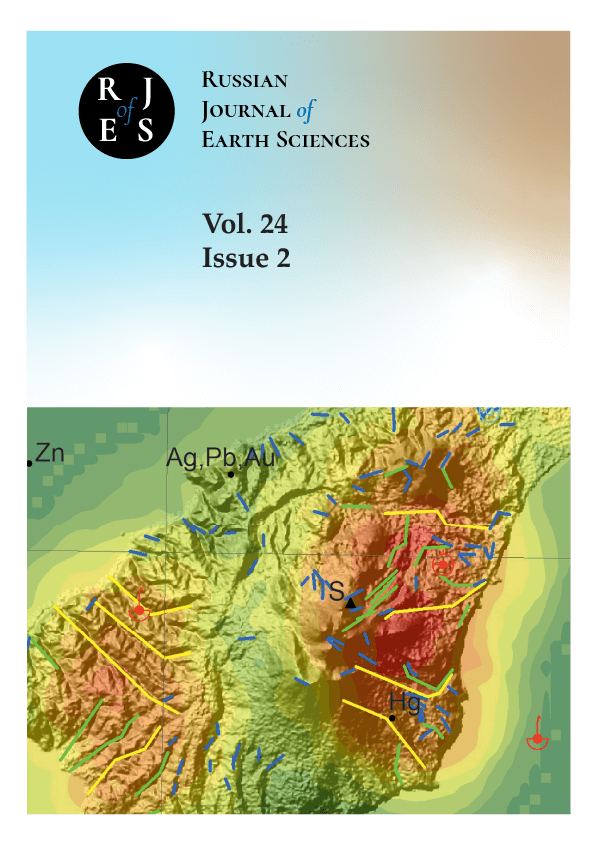
STUDY OF THE FAULTS NETWORK OF KUNASHIR ISLAND (KURIL ISLANDS) IN ORDER TO RECONSTRUCT THE FEATURES OF ITS TECTONIC EVOLUTION
Abstract
The paper is devoted to the study of the faults on Kunashir Island, focusing on their classification, morphology, kinematics, timing, and causes of formation, which are key to understanding the tectonic evolution of the area. The magma-supporting role of these faults is noted, contributing to the understanding of the distribution of volcanic and plutonic formations in the Great Kuril Ridge. The ore-controlling role of the faults was evaluated, which may contribute to the discovery of new mineral deposits. Additionally, studying these faults is important for improving the prediction of earthquakes and tsunamis. The research methodology includes an integrated approach that combines traditional geological observations with modern remote sensing methods, allowing us to detail the map of the Kunashir Island rupture faults. The results of the work confirm the presence of three systems of tectonic structures that differ in depth of emplacement, length, timing, kinematics, and causes of formation. The study contributes to our understanding of the complex geological structure of Kunashir Island and the entire island arc and provides a basis for further research in this area.
Russian Journal of Earth Sciences. 2024;24(2):ES2012
ES2012